Click here ->> https://swimproject3.com/SMARTWATERRESOURCESPLANNINGANDMONITORING/public/ for full experience.
Climate change, population and climate has been putting much pressure in water sustainability for crop production, energy generation, domestic supply. These are caused by water shortage in times of low rainfall months and prolonged droughts and dry seasons. On the other hand, intense and extreme rainy seasons have brought flooding which has taken toll on socio-economic growth in the Philippines and many tropical parts of the world. The Philippines is known to have abundant rainfall in terms of the annual amount of about 2000 mm to almost 4000 mm depending on location from which surface water resources such as streamflow, runoff and including recharge are derived. Despite abundance in annual scale, rainfall variability in monthly and daily scales remains to bring drought and flood at least once over a year. These phenomena are normal in more than half of the country having pronounced dry and wet months. However, it is aggravated by the degree of degradation of landscapes because of uncontrolled human activities such as the rapid conversion of natural landcover for urbanization, industrialization, and cultivation of even hilly areas for crop production. Watershed degradation threatens to cause more flooding, landslide, liquefaction, and drought. Moreover, these phenomena are exacerbated by climate change, which is projected to cause an increase in temperature with more rains during wet seasons and fewer rains during dry seasons. The Philippines is the 4th most vulnerable country to natural calamities based on 1995-2015 data. Moreover, it ranked 3rd in terms of the level of disaster risks (World Risk Report, 2016). The current trend shows that severe drought occurs in the country every 4 to 5 years, which would mean more potential damages to crop production. Balderama et al. (2016) projected corn yield to decline by as much as 44% in 2020 and 35% in 2050 due to temperature and rainfall erratic changes. Also, Lansigan et al. (2000) concluded that 65, 81 and 52% decline in rice yield were experienced in the Philippines due to the strong El Niño events 1973, 1983, and 1990, respectively. Furthermore, trend analyses of rice yield showed declines for every 1⁰C increase in seasonal mean temperature by 15% from 1979 to 2003 (Peng et al., 2004) and by 13.7% from 1970 – 2005 in the rainfed areas in the country (Roberts, Dawe, Falcon, & Naylor, 2009). Huge economic losses due to climate change and disasters have been accounted for by the Department of Agriculture to reach PHP163.6 billion in agriculture from 2011 to 2015. A single event of prolonged drought due to El Niño in 2010 has resulted in 12 billion pesos (US$235million, 1Php = US$54) of economic loss in agriculture which adversely affected the livelihood of many smallholder farmers. The Department of Agriculture Region 2 reported 46.9 billion damages from 2013 to 2020 due to droughts and moisture stress in corn production areas alone. That is equivalent to about 6 billion annual loss in corn production due to moisture stress brought by dry spell. On the other hand, waterless communities
are the most vulnerable during droughts with no to little drinkable water. About 92.8% of population in Region 2 have access to safe water leaving about 7.2% or around 24,000 people with poor access to safe water (National Economic development Authority & Department of Interior and Local Government, 2013).
Currently, the country is experiencing La Niña which is projected to last until the first quarter of 2021. This brought strong and successive typhoons in the recent months which brought massive flooding in the Cagayan Valley region. The wrath of the Typhoon Ulysses caused at least 27 fatalities in the Region and at least 10 billion pesos economic losses in the country. Cagayan Valley had the most damages with ₱2.1 billion losses in Agriculture and ₱2.3 billion in infrastructure (CNN Philippines, 2020). These are just few of the many socio-economic losses that have been disrupting the region’s and country’s agricultural and economic growth. On average, El Niño and La Niña events occur every two to seven years. El Niño usually happens more often than La Niña (National Oceanic and Atmospheric Administration, n.d.). Typically, El Niño occurs after La Niña. It has been shown that climate change increases the frequency and magnitude of the El Niño Southern Oscillation phenomena (Cai et al., 2014; Lou et al., 2019; Villafuerte, Matsumoto, & Kubota, 2015). It is therefore important that the Region prepares for the next occurrence of drought to reduce the recurrent huge impacts of the El Nino phenomenon.
The use of ICT tools for decision support system has been recognized by the present administration as specified in its medium-term plan. It will help address wide range of water security issues especially in reducing the impacts of climate extremes, landuse change and urbanization through science-based interventions. Integration of climate, hydrological and flood models would constitute a decision support system that will help authorities to have better preparation plans an action in times of possible flood and drought events. Surface water and groundwater models integrated with water demand models would help quantify water resources comprehensively. Water resources assessments have the potential to monitor the plans and policies that are taken to ensure water enhancement. Therefore, developing a framework for water security assessment at a basin level that would subsequently inform decision making on sustainable water resources management. Hence, there is much interest for the need to comprehensively assess water resources in the service areas considering socio-economic factors, increasing demands from other sectors, expansion of irrigation services and the effect of climate change.
Objectives
Overall, the project aims to develop a comprehensive water resources assessment framework as basis in designs and implementation of water related projects and interventions in Region 2 considering the impacts of climate change, land use change, urbanization and population growth.
Specifically;
- To conduct, assessment, and analysis of water resources, uses and existing water infrastructure, policies and governance in the provinces of Region 2
- To develop localized tools or framework for water resources planning needed for future water development and management strategies per province
- To design and implement appropriate water management and interventions for adoption and actual demonstration
Outputs
Product
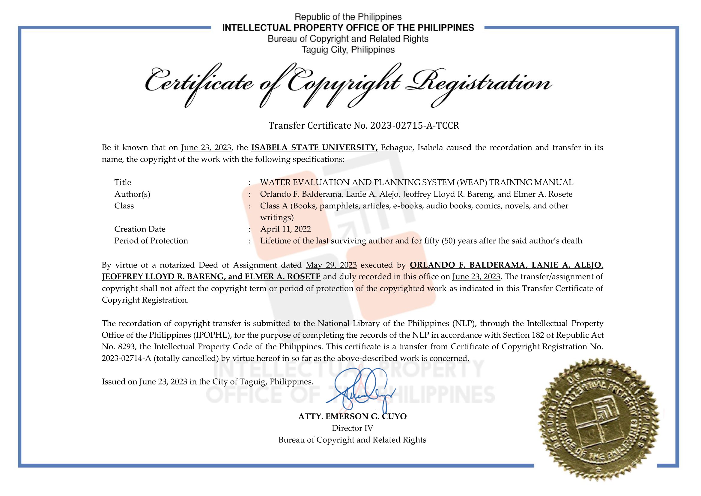
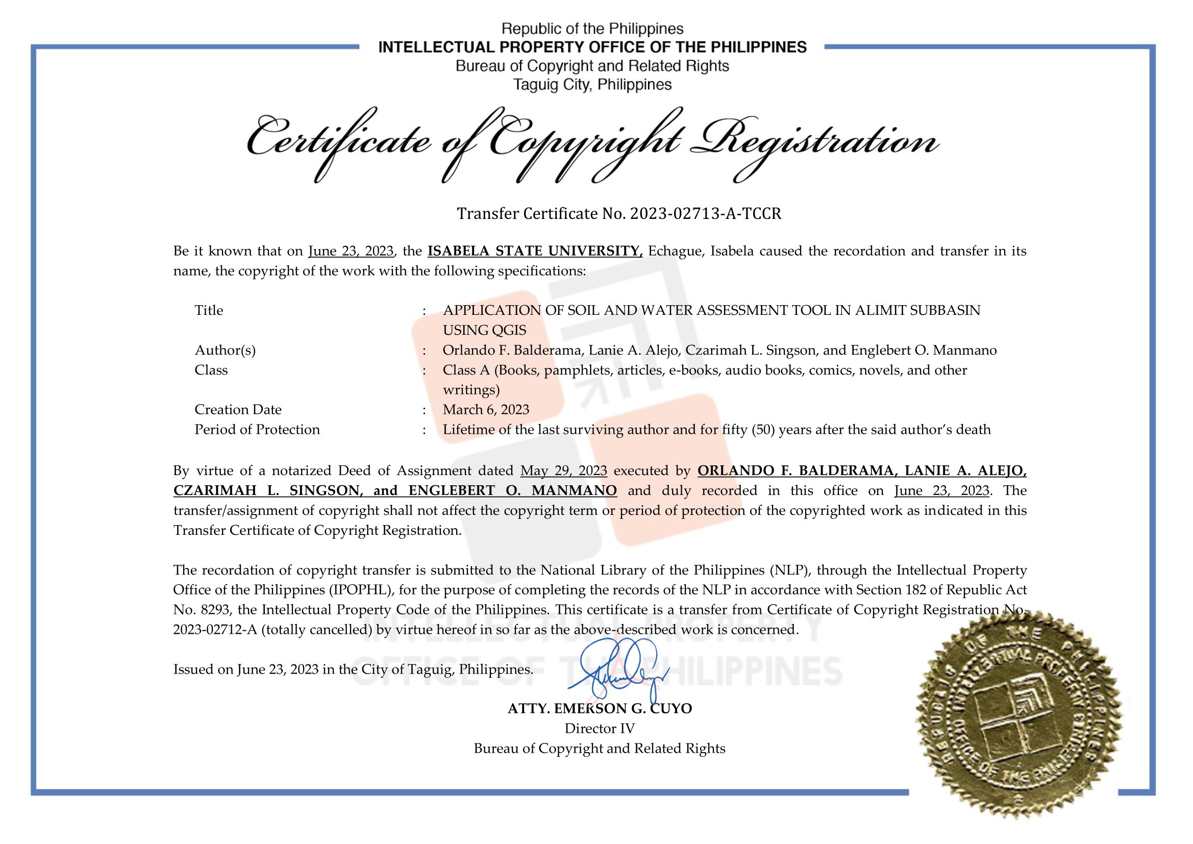
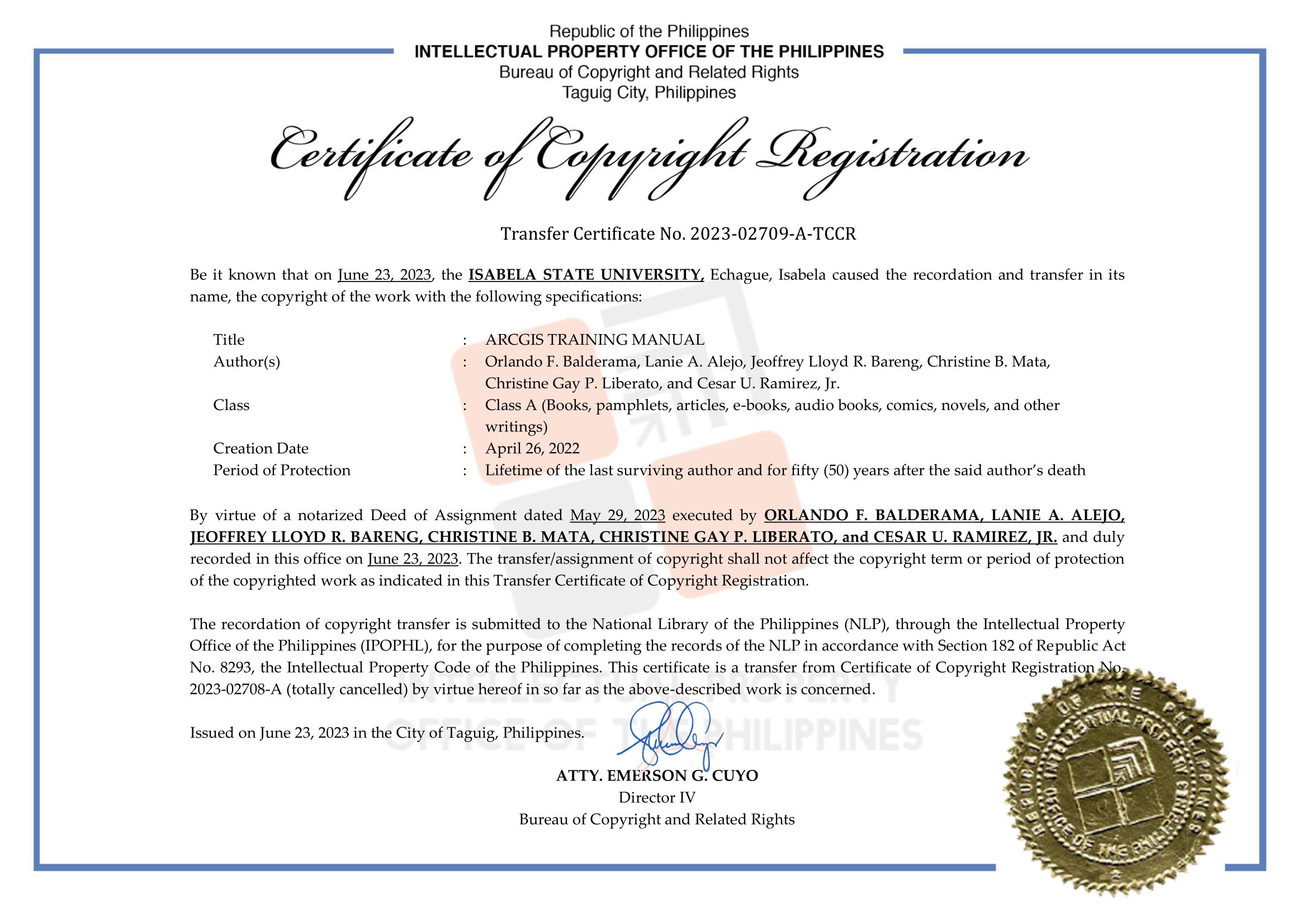
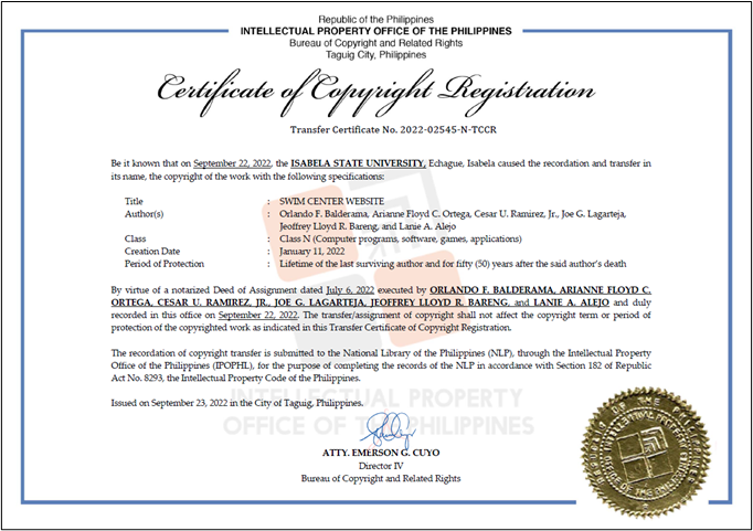
Training Manuals
Articles
 GeoresSantiago.pdf (1.41 MB) MUNICIPALITY OF ANGADANAN.pdf (787.37 KB) MUNICIPALITY OF ECHAGUE.pdf (2.14 MB) MUNICIPALITY OF QUEZON.pdf (1.27 MB) MUNICIPALITY OF QUIRINO.pdf (132.19 KB) MUNICIPALITY OF REINA MERCEDES.pdf (1020.4 KB) MUNICIPALITY OF SAN ISIDRO.pdf (1.36 MB) MUNICIPALITY OF SAN MARIANO.pdf (2.25 MB) MUNICIPALITY OF SANTO TOMAS.pdf (1.24 MB) Municipality of Cordon.pdf (915.42 KB) SAGUDAY.pdf (1.83 MB)
 People services
Training and Seminars
Basic Training on QGIS
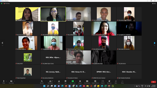
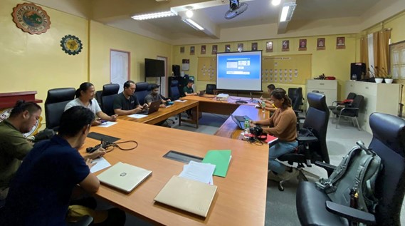
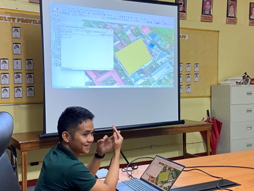
SWIM P1 in collaboration with SWIM P3 conducted a Training on Quantum GIS (QGIS) Softwarelast January 19-21, 2022, via Zoom Platform. Forty participants were trained on the basic features of the software as well as its application specifically related to map layouting and basic hydrologic modeling techniques. Engr. Englebert Manmano and Engr. Cesar Ramirez served as the resource speakers for the three-day seminar.
Furthermore, the training aimed to cover a wide range of topics which encompasses the installation of QGIS software, overview of its basic tools, data input, and land use map and flood risk mapping. Topics such as calculation of NDVI and stream and catchment delineation were importantly discussed by Engr. Manmano as such topics were deemed useful in research and modeling.
Moreover, the outputs for each day were generated by the participants (see example of outputs below). During the awarding ceremonies and closing remarks, recognition of participants for having the best output during the three-day training was granted.
Comprehensive Training
a. Comprehensive Training on the Operation and Use of Georesistivity Equipment
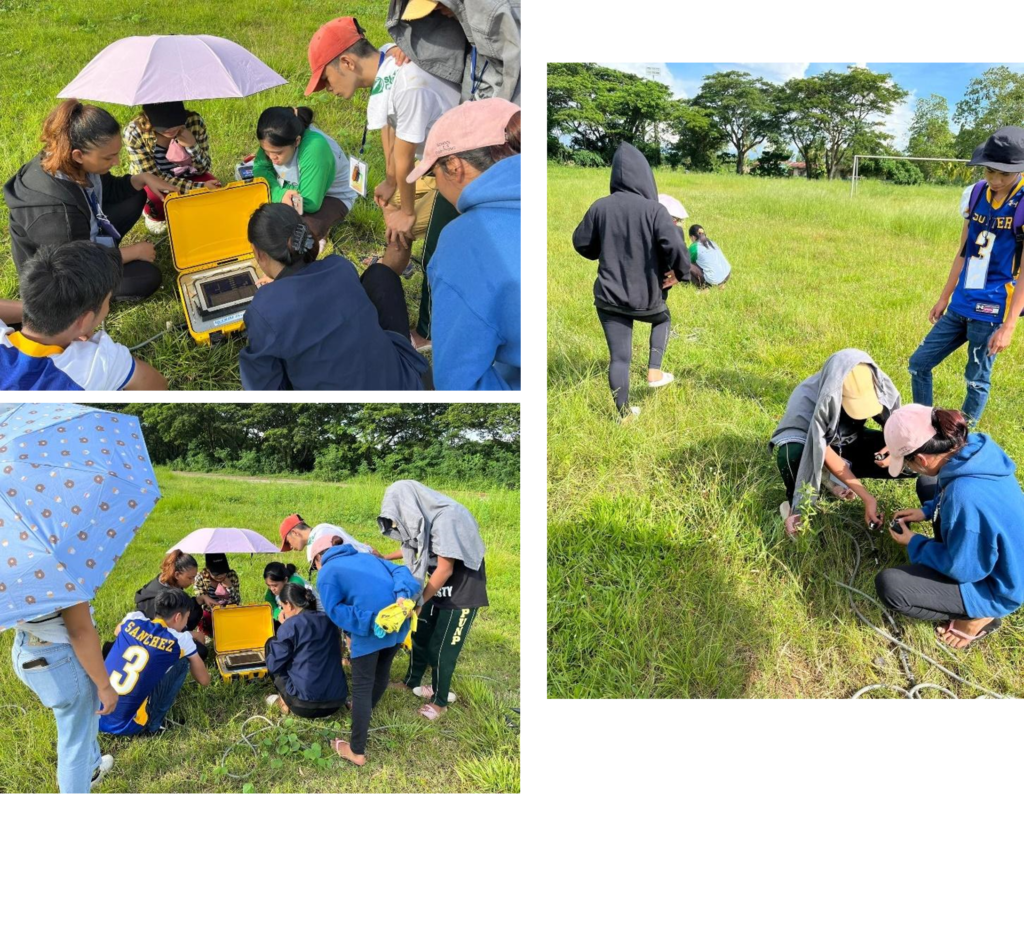
As an initial activity in establishing groundwater monitoring wells in the region, the SWIM P1 team is set to employ a georesistivity survey in partnership with DA-RAED Region 2. It is a procedure that is widely used in the Philippines in searching feasible groundwater sources. It is simply the use of an instrument that injects electricity in the ground to determine the type and nature of materials through their signature resistivity values.
The two-day training was attended by the participants from ISU-SWIM Project 1 headed by the SWIM R&D and Project 1 Program Leader, Dr. Orlando F. Balderama, with Engr. Elmer A. Rosete, URA and Project Staff 2; Engr. Czarimah L. Singson, SRS 2 ; Engr. Jeremy T. Balderama, SRS 1; Engr. Alvin John B. Felipe, SRS 1; Engr. Cesar U. Ramirez, SRS 1. The first day of the training commenced at DA Regional Agricultural Engineering Division and after the simple opening program, the technical session immediately took place. The participants were also oriented about the significance of the Water Code of the Philippines in groundwater exploration as Engr. Rinalyn Baawa went through the necessary provisions of PD 1067 and its implementing rules and regulations.
In addition, the georesistivity lecture of Engr. Wildy May Marasigan began with basic hydrological principles governing subsurface science before she introduced the Geoelectric Resistivity Method, its importance, and its potential in subsurface survey. The available instrument, which is the OYO McOHM Profiler 8i, a multi-channel digital resistivity meter that uses a two-dimensional resistivity exploration that allows the user to get a visual image represented by the signature of the materials present below the earth, was also mainstreamed and was properly discussed using their previous projects and activities involving subsurface survey.
In theory, the resource speakers had successfully conveyed the basic and relevant information in conducting a georesistivity survey. After the lecture, the participants and the lecturers travelled to the survey site at Abulog, Cagayan for the day of the training.
During the hands-on interactive demonstration of the instrument on day 2. The participants actively participated in setting up the circuits and in establishing the connection of the electrodes. The demonstration was very extensive since the instruments interface is very user-friendly and is accessible through a tablet monitor. The system will also indicate some problems in the installation of the electrodes which causes poor data. Also, the decay plot function is effective in monitoring the data quality on-site.
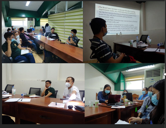
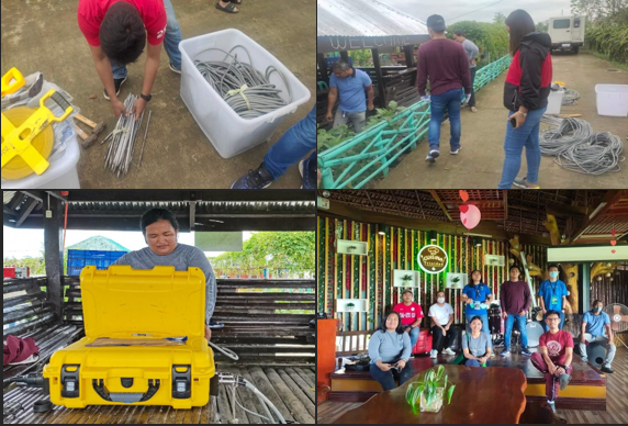
Figure d.2. Day 2: Field Activity at DA-NCES, Abulug, Cagayan
b. Comprehensive Training on the operation and use of Georesistivity Equipment with BSWM (March 22-23, 2022)
On March 22, 2022 the Bureau of Soil and Water Management conducted a comprehensive training in the operation and use of Georesistivity Equipment to the SWIM and IFWaRM staff at CVAARRD Building, ISU Echague.
The training was spearheaded by Dr. Orlando Balderama and Dr. Lanie Alejo with resource speakers from BSWM, Engr. Florante Bande, Head of BSWM Groundwater unit and Engr. Laila dela Cruz, Engineer 1 of the BSWM Groundwater Unit.
Engr. Bande discussed the introduction to Electrical Georesistivity Survey of the Georesistivity Equipment. The hands-on activity was spearheaded by Engr. Dela Cruz as the participants learned how to use the equipment on site. After the readings, the data were interpreted and were fully explained by Engr. Bande.
On the 23rd of March, the SWIM staff went to the municipality of Luna and Cauayan to assess the groundwater potential using the Georesistivity Equipment.
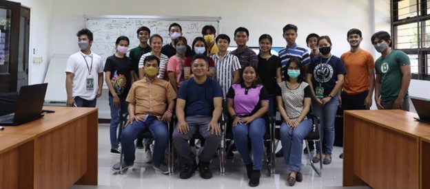
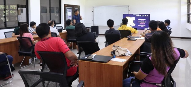
Figure f.1. Staff of SWIM and IFWaRM during the ecture of Engr. Bande of BSWM.
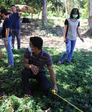
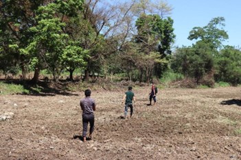
Figure f.2. Hands-on activity using the Geo-resistivity equipment and the interpreted data from the on-site reading.
Georesistivity Survey Analysis Report for Luna, Isabela
The geophysical survey method is considered the most suitable and effective method for groundwater exploration. It is based on the concept of determining the subsoil layer, which can provide useful information about the structure, composition and water content of the soil. The application of geophysical methods provides a better method than most conventional methods in groundwater exploration.
On March 22, 2022 the Smart Water Infrastructure and Management Project 1 team conducted a georesistivity survey at the proposed location at Luna, Isabela to assess the potential of groundwater in the said area to where the Smart groundwater monitoring wells will be established.
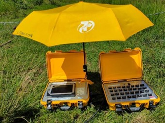
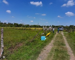
Figure f.3. ISU-SWIM Team setting up the Georesistivity instruments.
The array configuration used in determining the 2D cross resistivity cross-section of the subsurface was the wenner array: it provides good vertical resolution and clear image for groundwater and sand-clay boundaries as horizontal structures. In addition, the array also provides dense near surface cover of resistivity data. The signal strength is inversely proportional to the geometric factor i.e., 2πa, used to calculate the apparent resistivity value for the array making the Wenner array has the strongest signal strength among the common arrays.
GIS training in Batanes State College
Training on Geographic Information System (GIS) at Iquame Room organized by DOST-PSTO Batanes in collaboration with Batanes State College was conducted at Batanes State College on August 28, 2023. Trainers are Engr. Engelbert Manmano and Engr. Christine Gay P. Liberato from Isabela State University SWIM R&D Center. They trained some faculty and staff of BSC along with other researchers
SWIM Project 1 capacitates ABE Engineering Students
The SWIM P1 Team has conducted a Georesistivity Survey Fundaments lecture and hands-on training for Agricultural and Biosystems Engineering OJT Students for the College of Engineering of Isabela State University Main Campus. An introduction lecture about the history, applications, and limitations of Georesistivity Method was also presented before going to an in-depth derivation of corresponding formula and principles governing the electrical sounding technique. A hands-on activity succeeded the lecture as the students have been given the opportunity to experience and apply the what they have learned in theory into actual field application. This activity is part of the capacity building and commitment of the project to capacitate individuals with the of such state-of-the-art water resources exploration techniques.
Hybrid Seminar
Hybrid Seminar on the Fundamentals of Groundwater and Wells
The Fundamentals of Groundwater and Wells seminar was a two-day hybrid learning event organized by the Philippine Groundwater Society (PGS) on November 23-24, 2023 at Baguio City, Philippines. The activity provided a comprehensive training on groundwater science, well design, construction, development, operation, and maintenance. The seminar was attended by a diverse group of professionals from the well drilling, water utility, land development, agricultural, and industrial sectors. Participants gained valuable knowledge and skills that will enable them to make informed decisions about groundwater resource management.
Introduction
Groundwater is a vital resource that provides drinking water for over half of the world’s population. However, groundwater resources are under increasing pressure from human activities such as population growth, urbanization, and agricultural intensification. Therefore, it is essential to develop and manage groundwater resources sustainably.
The Fundamentals of Groundwater and Wells seminar was designed to provide participants with a fundamental understanding of groundwater science and the principles of well design, construction, development, operation, and maintenance. The seminar also addressed common groundwater quality problems and solutions.
Mainly, the activity aimed to enhance participants’ understanding of groundwater principles and concepts, familiarize participants with various well types, construction methods, and applications, and equip participants with practical skills for groundwater resource assessment and management.
The first day of the seminar focused on the basics of groundwater science and well design. The following topics were covered:
- Introduction to groundwater hydrology (Leonila Bron, Hydrogeologist)
- Well design considerations (Carlos Perez, WATCON Inc.)
- Basics of well construction and development (Roberto Sabido, CC Integra Corp)
- Sustainable well yield from pumping tests (Calos Perez)
- Pump selection and techniques (Lorentti Velasco, Aqua Haus Inc.)
The second day of the Fundamentals of Groundwater and Wells seminar focused on well construction, maintenance, and pump selection. The following topics were covered:
- Troubleshooting in well construction (Edward Lucas, Lucas & Son Drilling Corp.)
- Identifying and resolving common problems during the well construction process.
- Understanding the causes of well failure and how to prevent them.
- Well repair: why, when and how (Edward Lucas)
- Identifying the need for well repair and understanding the different types of repairs that can be performed.
- Evaluating the cost-effectiveness of well repair versus replacement.
- Maintenance and rehabilitation of pump and motor (Lorentti Velasco)
- Maintaining pump and motor to ensure optimal performance and longevity.
- Identifying signs of pump or motor failure and taking preventive measures.
- Common water quality problems and solutions (Mike Catamco, CG Integra Corp)
- Recognizing common water quality problems such as hardness, iron, and manganese.
- Implementing treatment methods to address water quality issues.
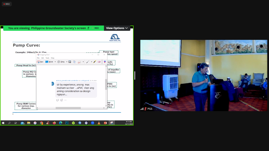
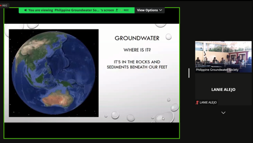
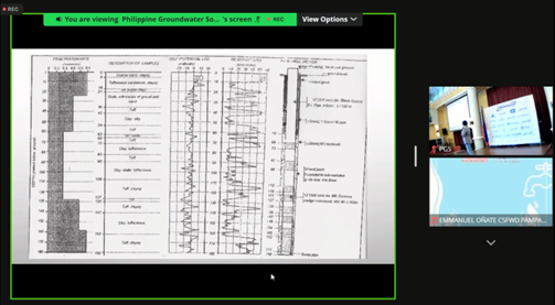
Figure 1. Snapshots during the hybrid groundwater seminar
Isotope Hydrology Seminar Series
a. Isotope Hydrology Seminar Series
The seminar series to the Introduction to Isotope Hydrology commenced its first session with the topic Introduction to Groundwater Resources Assessment through Isotope Techniques by Mr. Norman DS Mendoza, SSRS of PNRI-NATA, on December 23, 2021 via Zoom Platform. These lectures will be conducted to introduce the principles of isotope hydrology and some of their applications to relevant hydrological and environmental problems. Actually, Isotope Hydrology is a field of geochemistry and hydrology that uses naturally occurring stable and radioactive isotopic techniques to evaluate the age and origins of surface and groundwater and the processes within the atmospheric hydrologic cycle. This seminar on the application of isotopes which is ideal as tracers of the water sources and movements can be significant in the long-term analysis of water resources in the basin specifically for groundwater.
The opening session of the series was attended by the SWIM Program (Projects 1-4). Moreover, topics on the next sessions are listed in the table below. Next sessions were scheduled in March 2022.
| Session 1: | Types and distribution of environmental isotopes |
| Historical background | |
| Stable isotopes in the hydrological cycle, principles and distribution | |
| Measurements of stable isotopes, their notations | |
| Session 2: | Systematics of fractionation |
| Natural abundance in water, rocks and atmosphere | |
| Session 3: | Sampling techniques for collecting rainwater, groundwater, and surface water |
| Isotope applications in groundwater, surface water and geothermal studies, including recharge, source of fluids, mixing and interaction, pollution |
B. Continuation of Isotope Hydrology Seminar Series
To accomplish this goal, the DOST has enabled the ISU to collaborate with PNRI in the application of isotope hydrology techniques and analysis of data. PNRI was asked to conduct training series with the primary objective of capacitating Region 2 through ISU SWIM Project on mainstreaming isotope hydrology. The project staffs were given lectures and simple exercises.
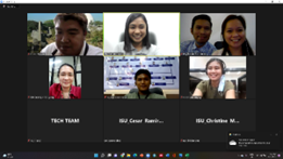
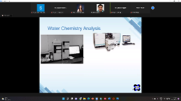
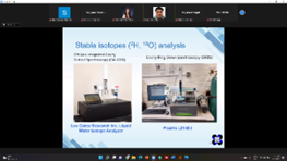
Figure e.1. Mr. Charles Darwin Racadio, Senior Science Research Specialist NATA, PNRI discussing the principles and techniques of isotopic hydrology.
Training Course on Groundwater and Solute Transport Modelling
ISU-SWIM Project Staff Attends International Training on Groundwater and Solute Transport Modelling
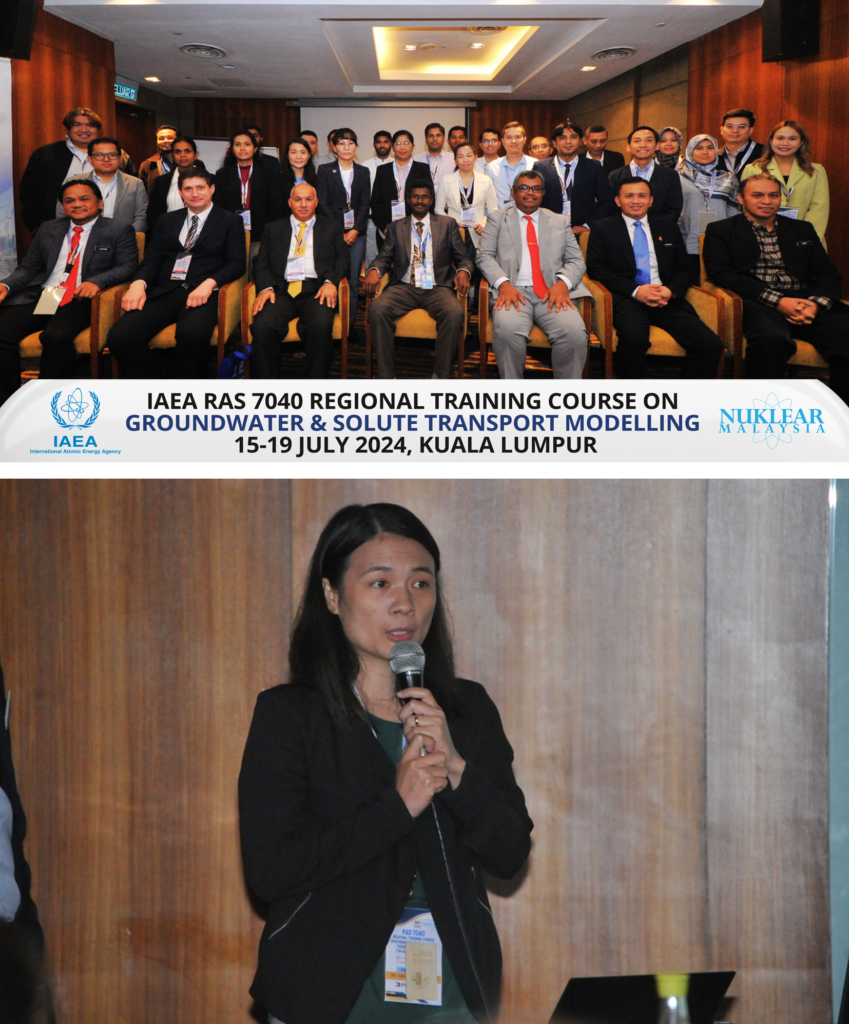
Engr. Carol Joy F. Mangadap, a staff member of the Isabela State University – Smart Water Infrastructure Management (ISU-SWIM) Project, participated in the Training Course on Groundwater and Solute Transport Modelling organized by the International Atomic Energy Agency (IAEA) in Kuala Lumpur, Malaysia.
The week-long training aimed to enhance the participants’ understanding and technical capacity in groundwater flow and solute transport modeling Akey tools for groundwater management and contamination assessment. Representatives from various countries participated in the event, providing a platform for knowledge exchange and collaboration among professionals engaged in water resources management and environmental protection.
Engr. Mangadap’s participation in the training underscores ISU-SWIM’s commitment to advancing technical expertise and adopting modern tools for effective groundwater monitoring, plannin, and decision-making.
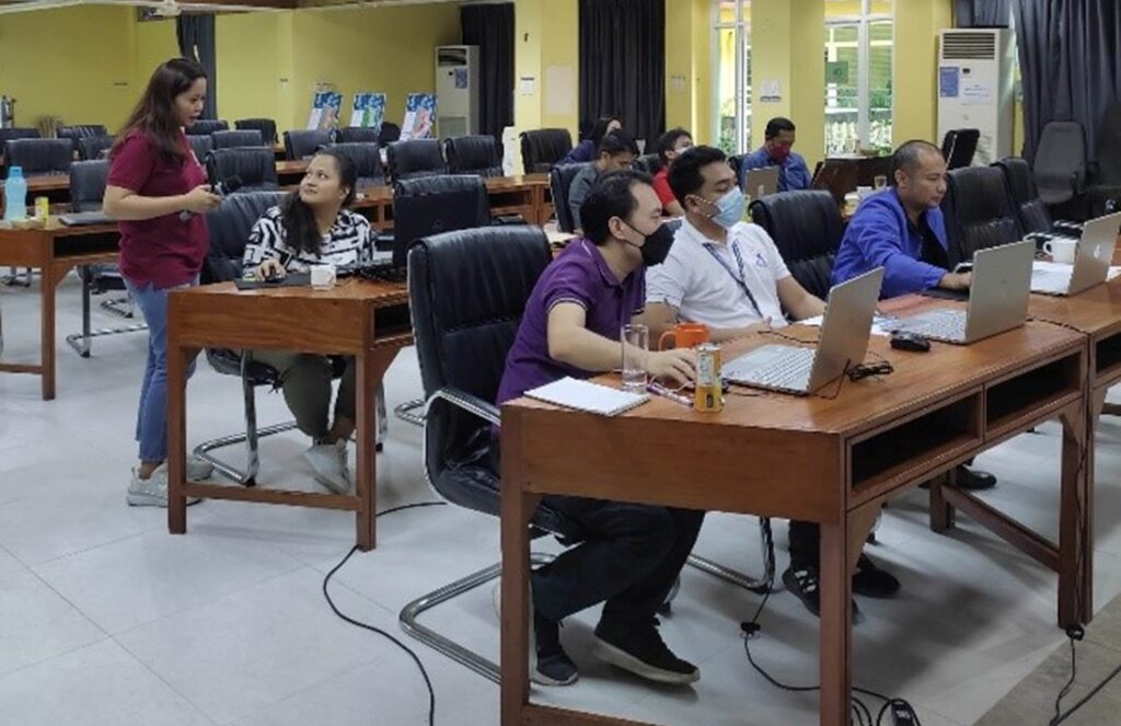
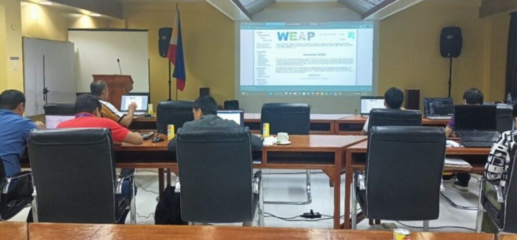
WEAP Training for NEDA personnel
A knowledge transfer activity was conducted by the Smart Water Infrastructure and Management (SWIM) R and D center and Water Resources Development Center (WReDC) staff for in-depth training on the use of the Water Evaluation and Planning Model (WEAP) last November 23-25, 2022 at the Pamegafanan Hall, NEDA2, Regional Government Center, Carig Sur, Tuguegarao City, Cagayan.
The training was participated by the NEDA 2 designated technical staff of each division. It started with opening remarks and messages from the NEDA Region 2 Assistant Regional Director Engr. Ferdinand Tumaliuan and Engr. Christine Gaay Liberato. The training proper started with a lecture on the WEAP introduction and overview by Engr. Tristan Janryll Mata.
The next part of the training was facilitated by Engr. Liberato in which she discussed WEAP-in 1 hour, an appreciation activity on the concept of the model. The participants were taught about the basic tools of WEAP such as creating an area, setting its general parameters, adding elements to the schematic as well as inputting its corresponding data. The training on the first day concluded with a brief activity in a sample WEAP simulation.
On the second day of the training, Engr. Elmer Rosete, SWIM Project Staff, lead the training by discussing the actual modelling done in the Magat Subbasin, he started his lecture with the calibration and validation of the WEAP model. After which was the simulation of the scenarios by considering situations such as population growth, climate change and additional LGUs as water users in the subbasin that may affect the water resource supply and demand in the basin. The second day of the training concluded with an open forum of the participants and the resource speakers in which they discussed and shared their experience on the WEAP modelling and for possible studies later on.
The last day was the output presentation of the participants. This is also to assess their understanding of the WEAP Model simulation of scenarios.
Training Course on Hydrology and Water Resources Management
a. Training Course on Hydrology and Water Resources Management
This joint training course intends to teach instructors, research staff, young researchers, and even students, new methods and smart procedures in rainfall-runoff assessments, sediment and groundwater modeling, and integrated water resources and coastal management. They will benefit from the training activities in their research papers/theses and project proposals as this will be a great contribution to the body of knowledge and publication in high-quality journals and training manuals. This will eventually stimulate and accelerate their knowledge and abilities in implementing new approaches and strategies. Hence, this training.
At the end of the training, participants should be knowledgeable and able to do various hydraulic and hydrologic modeling. Specifically, at the end of the training the participants shall be able to:
- Increase their knowledge and understanding of the different hydrologic and hydraulic concepts;
- Perform simulations and modeling; and
- Enhance their knowledge and skills in writing research papers and proposals on hydrology.
This training was facilitated by Dr. Guillermo Q. Tabios, Professor Emeritus of Institute of Civil Engineering, UPD & NRCP RD Lead, starting October 9, 2021. This seminar series has 18 lessons in total and each of the lessons was being discussed during Saturdays. The launch of the seminar series was very successful and was participated in by 70 researchers and academicians in the region. Agencies include DPWH, CSU, NIA, DA RFO, and LGUs of Isabela and Cagayan. The participants from the SWIM Program, specifically SWIM Project 2, 3, and 4 have been learning sessions 1-14 up to this date. The topics are listed on the table below.
| Session 1. Probability and Statistical Analysis |
| Session 2. Precipitation Analysis |
| Session 3. Streamflow Analysis |
| Session 4. Spatial Interpolation of Hydrologic Variables |
| Session 5. Stochastic Modeling of Rainfall |
| Session 6. Stochastic Modeling of Streamflow |
| Session 7. Watershed Hydrologic Modeling |
| Session 8. Watershed Modeling with HECHMS |
| Session 9. Fundamentals of River Hydraulics |
| Session 10. Watershed Sediment Yield Modeling with KINEROS |
| Session 11. River Sediment Modeling with HEC-RAS |
| Session 12. 2d Hydraulic Modeling with SMS |
| Session 13. Computer Workshop with SMS |
| Session 14. Groundwater Flow and Modeling Transport |
| Session 15. Groundwater Contaminant |
| Session 16. Optimization and Simulation Models |
| Session 17. Reservoirs Systems: Planning and Operations |
| Session 18. Integrated Water Resources and Coastal Management |
Essentially, this training on hydrology includes lectures and exercises on Hydrologic Analysis with Statistical and Stochastic Methods, Hydrologic and Hydraulic Modeling of Surface Water and Groundwater, Reservoir Optimization-Simulation Modeling, and Integrated Water Resources and Coastal Management (ICWRCM).
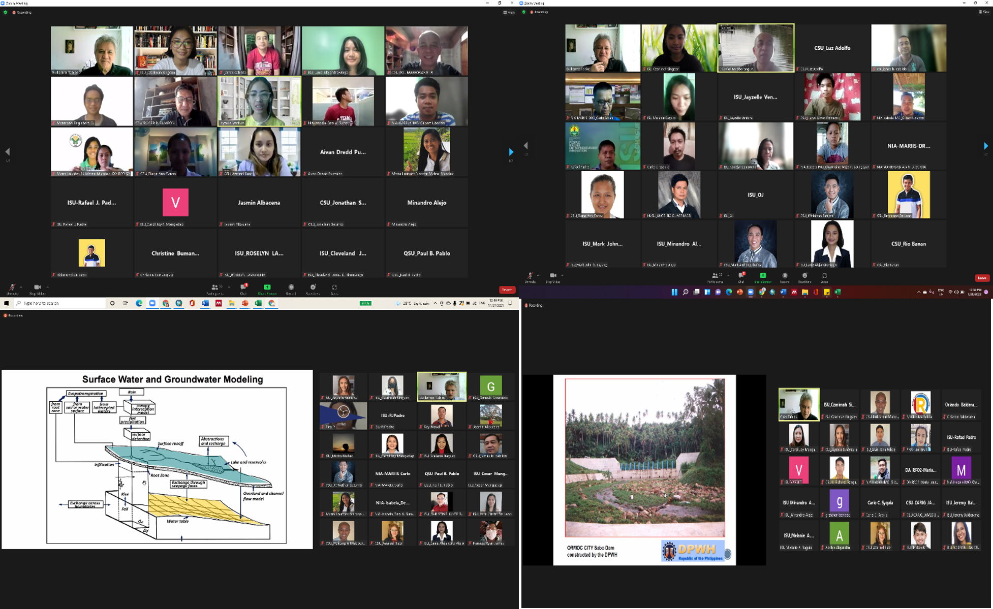
Figure i.1. Participants during the Lectures of Prof. Tabios
Publications
Patents
Certificate

Policies
Beneficiaries
- Cagayan River Basin Management Council
- Regional and Local Disaster Risk Reduction and Management Councils
- Local Government Units – Solano, Nueva Viscaya; Cauayan City, Isabela; Basco, Batanes, Diffun, Quirino and Tuguegarao City, Cagayan and other LGUs in Region 2
- Relevant NGAs – NWRB, DENR, NIA, DILG, DA, Water districts
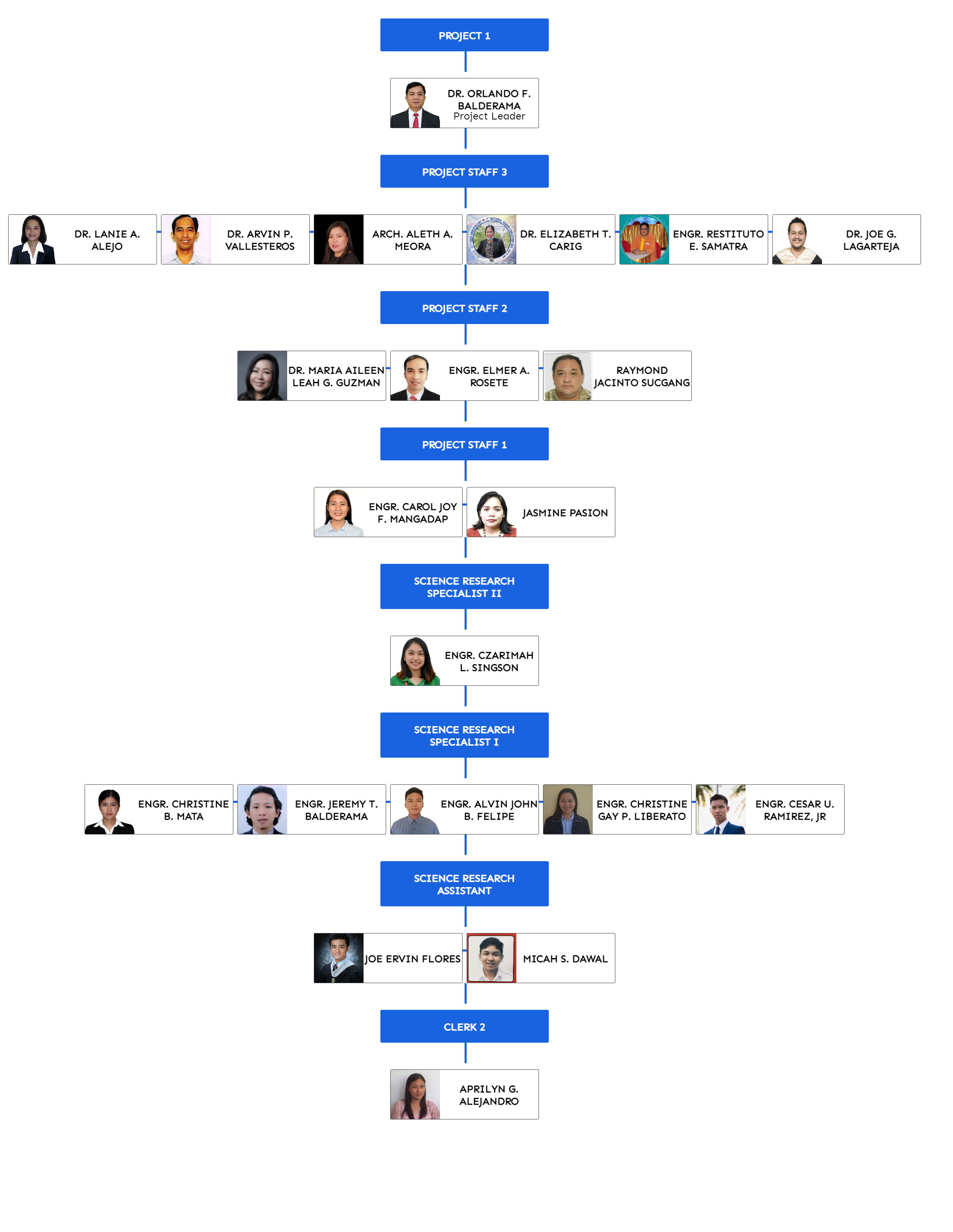
Organizational Chart